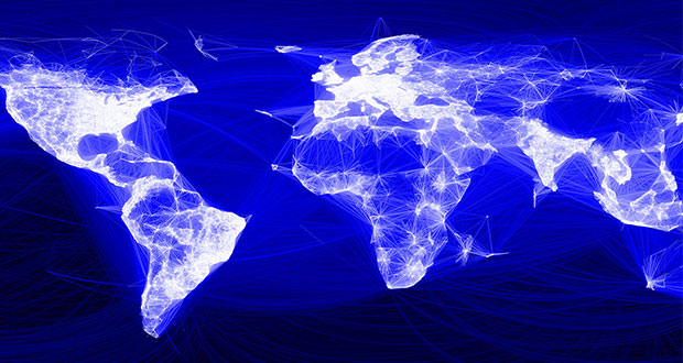
Facebook is using AI to create the most detailed demographic maps in the world
Facebook is emerging from a difficult year and is doing so by carrying out a 2016 project based on the creation of the most detailed demographic maps in the world, but don’t worry, your data on social networks will not be used.
Facebook has just had one of its worst years, mainly due to the Cambridge Analytica scandal and to the security of users’ personal data on the social network. The US company is looking for redemption and wants to show that its experience in the Artificial Intelligence field has a main role all over the world.
Facebook is working on a project that started three years ago in 2016; thanks to scientists and AI experts present in the company, the intent is to show the density of the population with more precise maps than the existing ones. Right now, Facebook is focusing more on maps of the African continent because there is still little data on the other continents that already have more developed maps.
The main purpose of this project is above all socially based, allowing humanitarian agencies to determine how populations are distributed even in remote areas and opening up new opportunities for health and relief workers by allowing more aid to be distributed, where necessary.
James Gill, Digital Trends of Facebook (a software engineer) commented on the project: ” our maps that calculate population density are three times more detailed than any other demographic map available, from a technological point of view, we need to address the large-scale data infrastructure, developing spatial algorithms that work with interesting graphing topologies, new labeling techniques and applying cutting-edge research in machine learning. On the impact side, our work informs about the provision of lifesaving services such as delivering vaccinations and responding to natural disasters. ”
Facebook warns that no personal data of users present on the platform is or will be used for the project; demographic maps are based on census and satellite data, which do not contain personal information.
The very high details in the project are provided thanks to a tool that can use very high resolution satellite data (50 cm of land per pixel), which will combine the data in the census with the images, finally creating an accurate map of the area with demographic information.
The project has purely humanitarian aims and we hope that it will help to reach more populations in difficulty allowing them to distribute even more aid.